|
2026-07-23
01:54 Z
|
| Altimeter |
29.78" Hg |
| Wind |
360° @ 6 KT |
| Gusts |
-- |
| Visibility |
10 SM
|
| Temperature |
19° C (66° F)
|
| Dewpoint |
11° C (52° F)
|
| Relative Humidity |
60%
|
| Density Altitude |
--
|
| Condensation Altitude |
4,700 feet
|
|
|
|
|


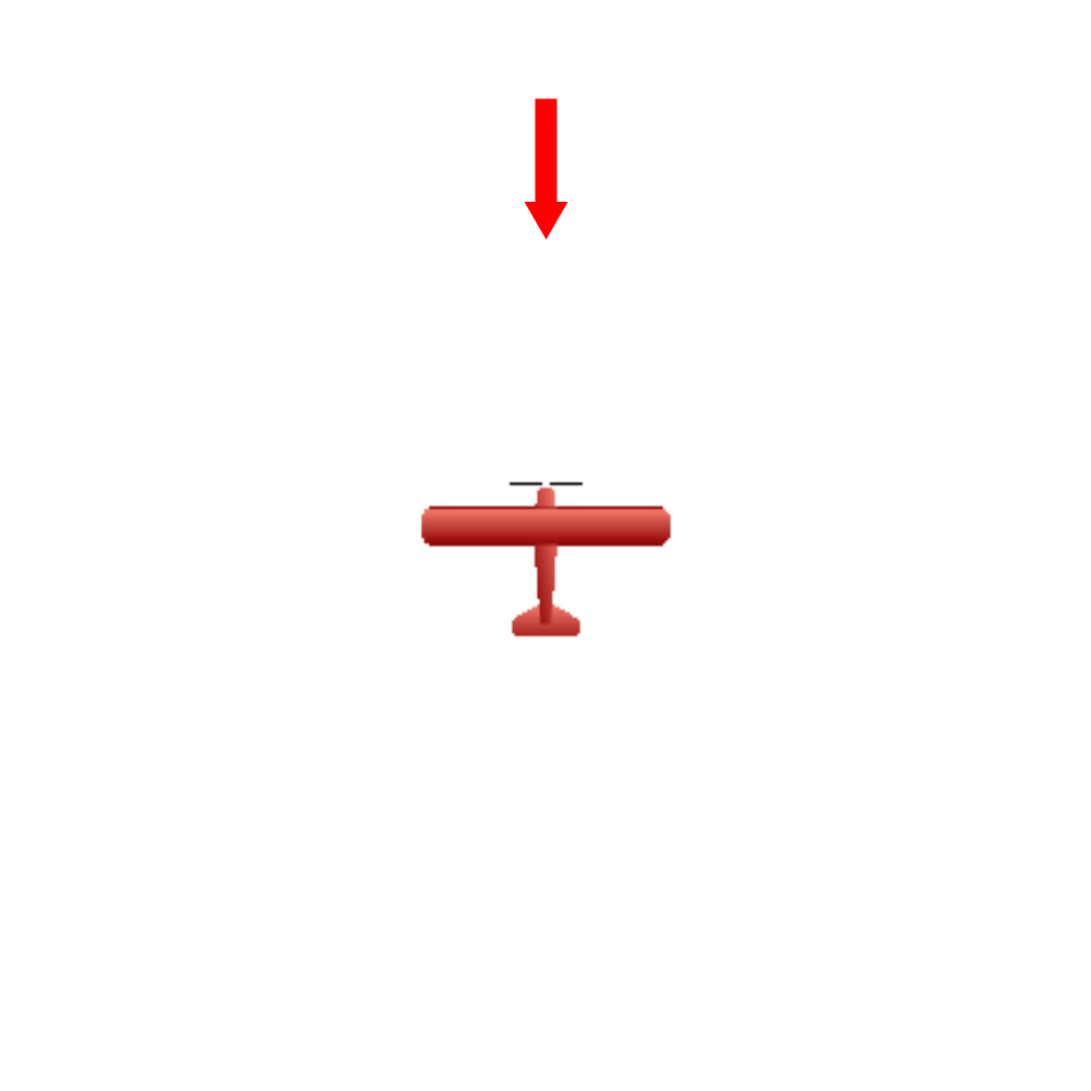 Indicated Runway = 35
Headwind = 6 kt
Crosswind = 1 kt
Indicated Runway = 35
Headwind = 6 kt
Crosswind = 1 kt
|
|
|
|
METAR B21 230154Z AUTO 36006 10 SM 19/11 A2978
|